Log in
All resources
Create a design
4,963 Free Images of Map Pin
maps
engraving
grabados
fondo antiguo
city
belgium
ciudad
bélgica
libros del siglo xvi
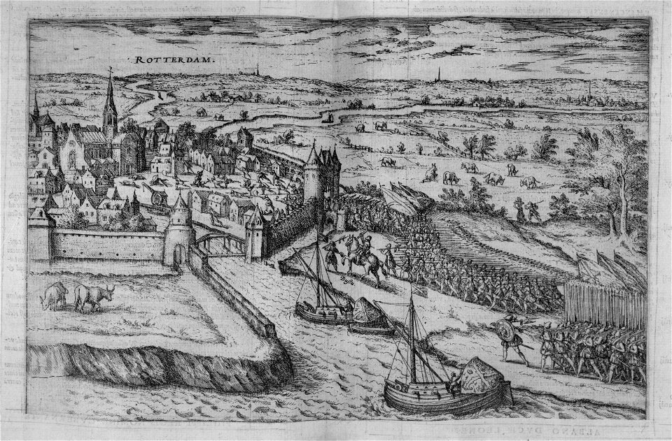
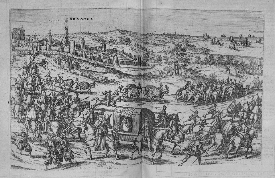
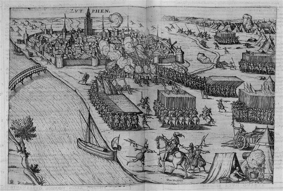
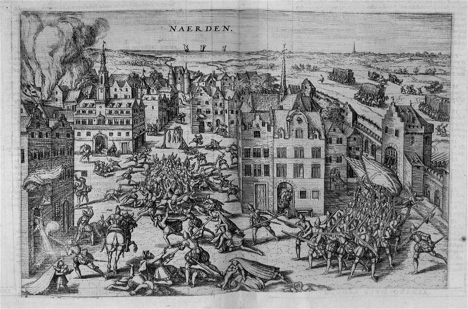
nouus de leone belgico..., 1588
north america
bird
north america
bird
turgot map of paris, kyoto university library – derivative files
collège du plessis
turgot map of paris, kyoto university library – derivative files
porte saint-antoine
map of the circle of the rhineland by sanson
maps by nicolas sanson
maps of the war of the spanish succession
apalachee
paintings by antônio parreiras in the museu antônio parreiras
paintings of nude females by antônio parreiras
science
geology
travel
maps
cartography
maps
media contributed by university of illinois urbana-champaign university library
1623 maps of africa
historical images of église saint-nicolas-du-chardonnet
map of paris by braun & hogenberg - derivative files
old maps of north america from the norman b. leventhal map center
1740 maps of north america
forest
botany
18th-century maps of havana
1730s maps of cuba
a map of the british empire in america with the french and spanish settlements adjacent thereto
maps in the library of congress
a map of the british empire in america with the french and spanish settlements adjacent thereto
maps in the library of congress
sixth map of paris from traité de la police
maps of paris from paris musées
maps from traité de la police, bibliothèque nationale de france
third map of paris from traité de la police
maps by edward wright
molyneux globes
2010s photographs of toulouse
august 2018 in toulouse
sanborn fire insurance map from flushing, queens county, new york
maps in the library of congress
a map of the british empire in america with the french and spanish settlements adjacent thereto
1730s maps of the caribbean
paintings by antônio parreiras in the museu antônio parreiras
paintings of nude females by antônio parreiras
historical images of the jardin du luxembourg
historical images of luxembourg palace
paintings by antônio parreiras in the museu antônio parreiras
portrait paintings by antônio parreiras
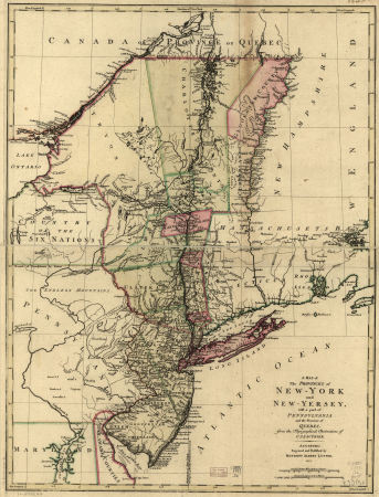
a map of the provinces of new york and new jersey, with a part of pennsylvania and the province of quebec
maps in the library of congress
seventh map of paris from traité de la police
geographic overlays
self-published work
tree
maps of paris from the david rumsey historical map collection
baroque
maps of paris from the david rumsey historical map collection
baroque
mammals
france
map of paris by braun & hogenberg - derivative files
rue des archives (paris)
atlas des anciens plans de paris by imprimerie nationale, 1880 from bhvp
proletarian literature
backs of postcards in curt teich postcard archives
postcards of oklahoma city
backs of postcards in curt teich postcard archives
postcards of oklahoma city
historical images of boulevard des capucines
rue basse-du-rempart (paris)
map of europe by guillaume delisle (1700)
1789 maps of europe
curt teich postcard archives
map postcards
map of the circle of the rhineland by sanson
1670s maps of hesse
maps from traité de la police, bibliothèque nationale de france
sixth map of paris from traité de la police
1794 maps of the holy roman empire
english-language maps of europe
a map of the british empire in america with the french and spanish settlements adjacent thereto
1730s maps of the caribbean
map of paris by braun & hogenberg - derivative files
rue montmartre (paris)
illustration
art
cartography
maps
cartography
maps
19th-century ferronières
jewel hair pins in art
curt teich postcard archives, curt teich & company
map postcards
merian plan of paris
baroque
map collection of leibniz-institut für ost- und südosteuropaforschung
18th-century maps of siberia
maps of paris from the david rumsey historical map collection
1778 in paris
maps of paris from the david rumsey historical map collection
1774 in paris
a map of the provinces of new york and new jersey, with a part of pennsylvania and the province of quebec
maps in the library of congress
a map of the provinces of new york and new jersey, with a part of pennsylvania and the province of quebec
maps in the library of congress
paintings by antônio parreiras in the museu antônio parreiras
paintings of animals by antônio parreiras
paintings by antônio parreiras in the museu antônio parreiras
paintings of seascapes by antônio parreiras
backs of postcards in curt teich postcard archives
postcards of oklahoma county, oklahoma
backs of postcards in curt teich postcard archives
postcards of elk city, oklahoma
water
tree
william henry toms
henry popple
a map of the british empire in america with the french and spanish settlements adjacent thereto
maps in the library of congress
a new & correct map of england and wales (foster)
1750s maps of england
cage bird
bird
old and new london, illustrated (1873) by walter thornbury and edward walford - bl 1887 copy
maps from the mechanical curator collection
hendrik van langren map of south asia
16th-century maps of the near east
map of rome by giovanni battista falda (1676)
casino fini
turgot map of paris, musée carnavalet
maps of paris from paris musées
turgot map of paris, musée carnavalet
maps of paris from paris musées
turgot map of paris, musée carnavalet
maps of paris from paris musées
turgot map of paris, musée carnavalet
maps of paris from paris musées
nypl collection of atlases, gazetteers, guidebooks and other books
nypl lionel pincus and princess firyal map division
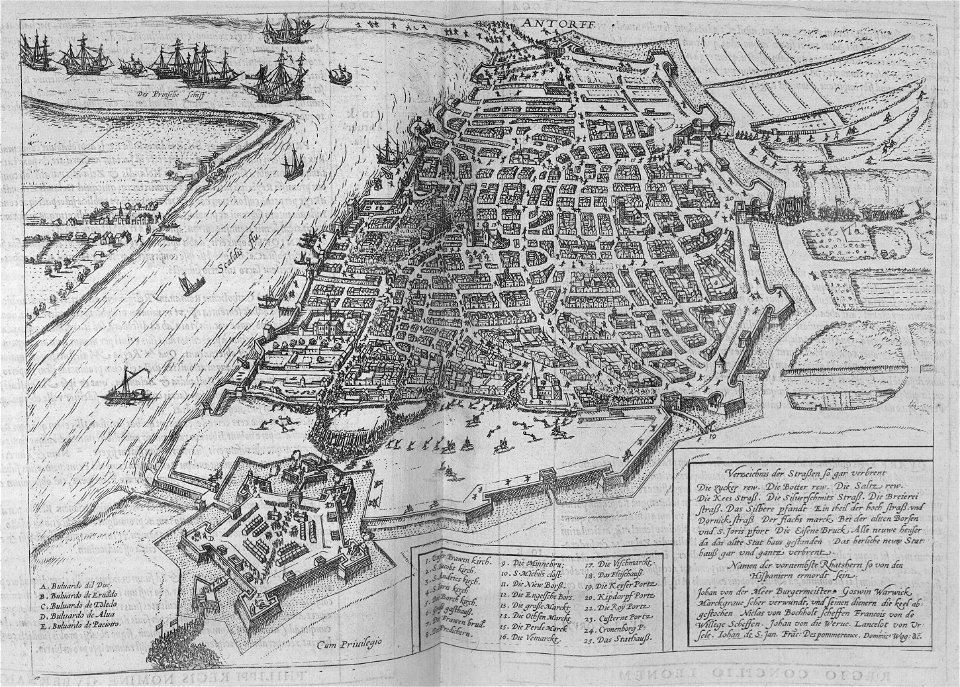
joris hoefnagel - map of antwerp
prints by theodoor van thulden
architecture
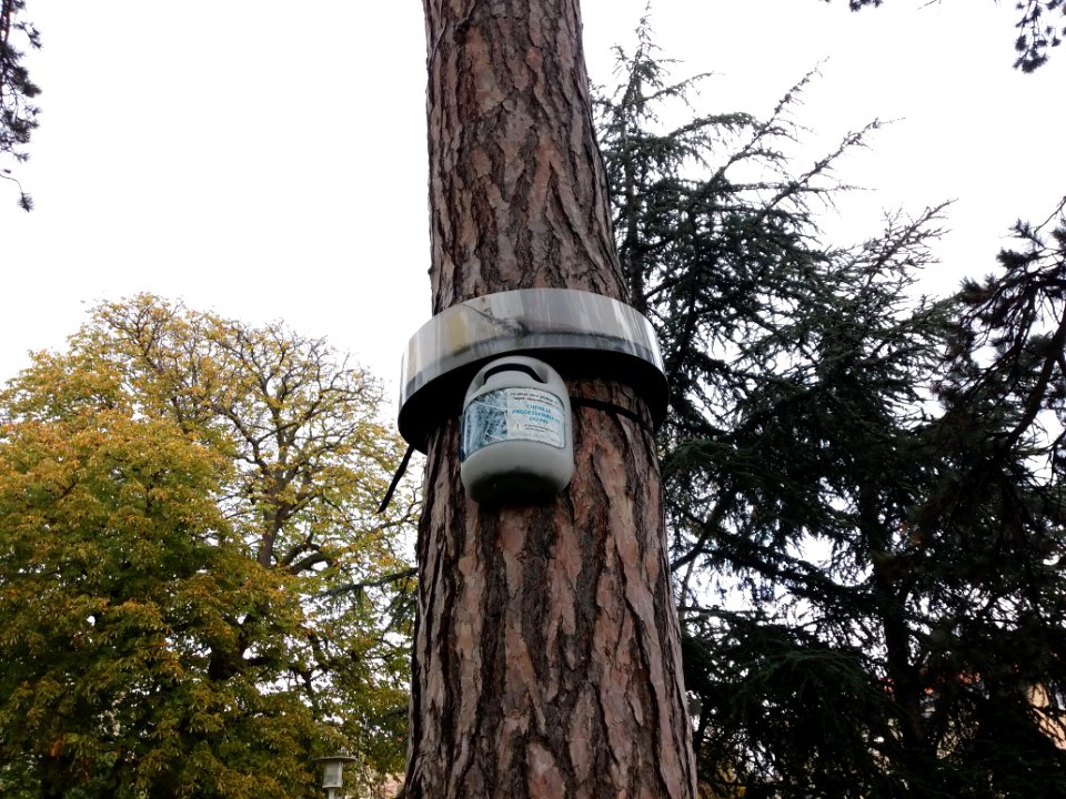
insect trap
maps from traité de la police, bibliothèque nationale de france
fifth map of paris from traité de la police
maps of ancient israel by philippe de la rué
map of modern syria by philippe de la rué
symbol
maps
travel
maps
turgot map of paris – derivative files
louis bretez
maps from traité de la police, bibliothèque nationale de france
first map of paris from traité de la police
maps of paris from paris musées
plan de turgot
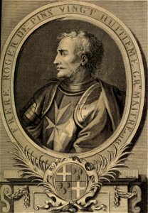
histoire des chevaliers hospitaliers de s. jean de jerusalem (1726) by vertot
list of grand masters of the knights hospitaller
18th-century maps of the strait of magellan
1700s maps of argentina
admiralty charts region r: usa and mexico west coasts
admiralty charts 401-600
maps
city
maps
city
maps
city
maps
city
maps
city
maps
city
maps
city
maps
city
maps
city
maps
city
maps
city
maps
city
maps
city
maps
city
maps
city
maps
city
3001 - 3100 of 4,963
Next page
/ 50


![Sixth plan of the city / of Paris / And its increases, from the beginning of the Reign of Charles / VII, the year 1422, until the end of the Reign of Henry III, the year 1589 [1705], Antoine Coquart](https://cdn.creazilla.com/illustrations/10000442243/sixth-plan-of-the-city-of-paris-and-its-increases-from-the-beginning-of-the-reign-of-charles-vii-the-year-1422-until-the-end-of-the-reign-of-henry-iii-the-year-1589-1705-antoine-coquart-md.jpg)
![Third plan of the city of Paris, its extent and the towns which surrounded it under the reign of Louis the Young VII of the name [Digitized still image] / By MLCDLM, Antoine Coquart](https://cdn.creazilla.com/illustrations/10000255194/third-plan-of-the-city-of-paris-its-extent-and-the-towns-which-surrounded-it-under-the-reign-of-louis-the-young-vii-of-the-name-digitized-still-image-by-mlcdlm-antoine-coquart-md.png)


![Lutetia or first plan of the city of Paris taken from Cesar, Strabo, the Emperor Julian and Ammiam Marcellin [Digitized still image] / By MLCDLM, Antoine Coquart](https://cdn.creazilla.com/illustrations/10001224733/lutetia-or-first-plan-of-the-city-of-paris-taken-from-cesar-strabo-the-emperor-julian-and-ammiam-marcellin-digitized-still-image-by-mlcdlm-antoine-coquart-md.png)

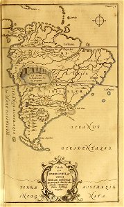
![Map of Paraguay, Chile, and Strait of Magellan - Guillaume de L'Isle, [1703-1708]](https://cdn.creazilla.com/illustrations/10001534848/map-of-paraguay-chile-and-strait-of-magellan-guillaume-de-lisle-1703-1708-md.jpg)